Geology of the UAE
Geological Setting of the UAE

The United Arab Emirates (UAE) are located on the southern side of the Arabian Gulf, at the north-eastern edge of the Arabian Plate. Although large areas of the country are covered in Quaternary sediments.
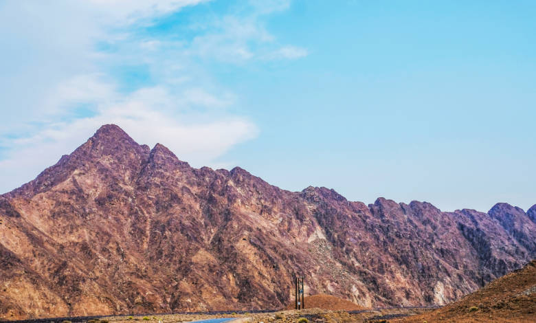
The bedrock geology is well exposed in the Hajar Mountains and the Musandam Peninsula of the eastern UAE, and along the southern side of the Arabian Gulf west of Abu Dhabi.
The geology of the Emirates can be divided into ten main components:
- The Late Cretaceous UAE-Oman ophiolite;
- A Middle Permian to Upper Cretaceous carbonate platform sequence, exposed in the northern UAE (the Hajar Supergroup);
- A deformed sequence of thin limestone’s and associated deepwater sediments, with volcanic rocks and mélanges, which occurs in the Dibba and Hatta Zones;
- A ploydeformed sequence of metamorphic rocks, seen in the Msafi – Ismah and Bahi Hamid areas;
- A younger, Late Cretaceous to Palaeogene cover sequence exposed in a foreland basin along the western edge of the Hajar Mountains;
- An extensive suite of Quaternary fluvial gravels and coalesced alluvial fans extending out from the Hajar Mountains;
- A sequence of Late Miocene sedimentary rocks exposed in the western Emirates;
- A number of salt domes forming islands in the Arabian Gulf, characterized by complex dissolution breccias with a varied clast suite of mainly Neoproterozoic (Ediacaran) sedimentary and volcanic rocks;
- A suite of Holocene marine and near-shore carbonate and evaporate deposits along the southern side of the Arabian Gulf forming the classic Abu Dhabi sabkhas and Extensive Quaternary to recent aeolian sand dunes which underlie the bulk of Abu Dhabi Emirate.
Reference: Geological Passport Book by the Ministry of Energy & Industry


